Book & Manage
Book
Flight
Flight Deals
Route Network
Flight Schedule
Timetable
Manage
Manage Booking
Flight Status
Baggage Status
Check-in
Mauritius
Book now
Book & Manage
Book & Manage
Before you fly
Baggage
Carry-On Baggage
Checked Baggage
Additional Baggage
Special Baggage
Dangerous Goods
LAGs
Baggage Clearance
Travel information
Passport & Visa
Customs and Security
Assistance & Health
Travelling with Children
Unaccompanied Minor
Travelling with pets
Allergen-Sensitive Passengers
Customise your Journey
Extra Bags
Seating
Upgrade
Lounge Access
Special Meals
Champagne
Book Hotel
Before you fly
Before you fly
Flying with us
Fleet
Our Cabins
Business
Economy
Inflight Entertainment
Movies, Music & Games
Onboard Wi-Fi
Magazines
Meals & Beverages
Inflight Menu
Special Meals
Champagne & more
Airport Lounges
The Amédée Maingard Lounge
Other Lounges
Flying with us
Flying with us
Destinations
Holiday type
Beach holidays
Romance holidays
Family holidays
Nature holidays
Adventure holidays
Food & Culture Holidays
Where we fly
Mauritius
Europe
Asia & Australia
Africa & Middle East
Indian Ocean Islands
Popular Destinations
Flights to Mauritius
Flights to Rodrigues
Flights to Reunion
Flights to Antananarivo
Flights to London
Flights to Johannesburg
Flights to Perth
Flights to Kuala Lumpur
Flights to Cape Town
Flights to Mumbai
Flights to Delhi
Flights to Chennai
Flights to Paris
Flights to Geneva
More Flights
Flights from Dubai
Flights from Spain
Flights from Sweden
Flights from Norway
Flights from Austria
Flights from United Kingdom
Flights from France
Flights from South Africa
Flights from India
Flights from Malaysia
Flights from Netherlands
Flights from Australia
Flights from Germany
Destinations
Destinations
Kestrelflyer
About Kestrelflyer
Programme
Benefits
Earn Miles
Spend Miles
Cash & Miles
Our partners
Airline Partners
Other Partners
Join Now / Login
Login
Join Now
Kestrelflyer
Kestrelflyer
Login | Sign up
Help
Search
Welcome,
Dashboard
chevron_right
My Profile
chevron_right
My Transactions
chevron_right
My Nominees
chevron_right
My Beneficiaries
chevron_right
Claim Miles
chevron_right
Use Miles
keyboard_arrow_down
keyboard_arrow_up
Book Award Ticket
Use Miles for Upgrading
Use Miles for Extra Baggage
Use Miles for Premium Lounge
Logout
Help & Support
Need help?
chevron_right
FAQ
chevron_right
Delayed Flight Certificate
chevron_right
Customer Support
chevron_right
Contact us
chevron_right
What are you looking for?
Search
Popular searches:
Language
Australia
EN
FR
Belgium
EN
FR
China
EN
FR
ZH
France
EN
FR
Germany
EN
FR
Hong Kong SAR China
EN
FR
ZH
India
EN
FR
Ireland
EN
FR
Italy
EN
FR
IT
Kenya
EN
FR
Madagascar
EN
FR
Mauritius
EN
FR
Malaysia
EN
FR
Netherlands
EN
FR
Réunion
EN
FR
Singapore
EN
FR
ZH
South Africa
EN
FR
Switzerland
EN
FR
IT
United Kingdom
EN
FR
United Arab Emirates
EN
FR
International
EN
FR
ZH
IT
Help
close
Need help?
chevron_right
FAQ
chevron_right
Delayed Flight Certificate
chevron_right
Customer Support
chevron_right
Contact us
chevron_right
close
Australia
EN
FR
Belgium
EN
FR
China
EN
FR
ZH
France
EN
FR
Germany
EN
FR
Hong Kong SAR China
EN
FR
ZH
India
EN
FR
Ireland
EN
FR
Italy
EN
FR
IT
Kenya
EN
FR
Madagascar
EN
FR
Mauritius
EN
FR
Malaysia
EN
FR
Netherlands
EN
FR
Réunion
EN
FR
Singapore
EN
FR
ZH
South Africa
EN
FR
Switzerland
EN
FR
IT
United Kingdom
EN
FR
United Arab Emirates
EN
FR
International
EN
FR
ZH
IT
close
What are you looking for?
Search
Popular searches:
close
Welcome,
Dashboard
chevron_right
My Profile
chevron_right
My Transactions
chevron_right
My Nominees
chevron_right
My Beneficiaries
chevron_right
Claim Miles
chevron_right
Use Miles
keyboard_arrow_down
keyboard_arrow_up
Book Award Ticket
Use Miles for Upgrading
Use Miles for Extra Baggage
Use Miles for Premium Lounge
Logout
Login | Sign up
Carve your Holiday Type
Home
Destinations
Holiday type
Find the ideal destination for your next trip. Whether you are looking for a beach getaway or a city break adventure, we have something for each traveler.
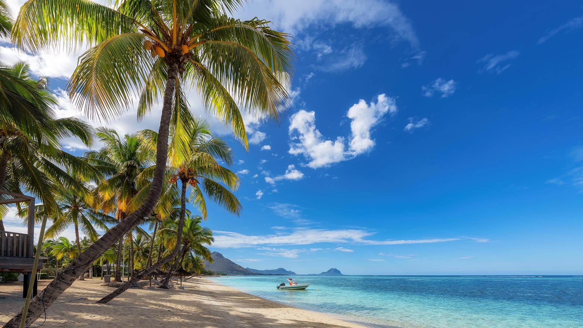
Beach
Romance
Family
Nature
Adventure
Food & Culture
Beach
View all
3 min read
•
Adventure
•
Adventure
•
Beach
•
Nature
5 Reasons to spend your december holidays in Mauritius
Read the article
3 min read
•
Adventure
•
Adventure
•
Beach
•
Nature
5 Reasons to spend your december holidays in Mauritius
Romance
View all
2 min read
•
Romance
Mauritius: Best Honeymoon Destination in Tripadvisor's 2025 Must-Visit List
Read the article
2 min read
•
Romance
Mauritius: Best Honeymoon Destination in Tripadvisor's 2025 Must-Visit List
Family
View all
2 min read
•
Food & Culture
•
Family
Family Fun in Kuala Lumpur
Read the article
2 min read
•
Food & Culture
•
Family
Family Fun in Kuala Lumpur
Nature
View all
3 min read
•
Adventure
•
Adventure
•
Beach
•
Nature
5 Reasons to spend your december holidays in Mauritius
Read the article
3 min read
•
Adventure
•
Adventure
•
Beach
•
Nature
5 Reasons to spend your december holidays in Mauritius
Adventure
View all
3 min read
•
Adventure
•
Adventure
•
Beach
•
Nature
5 Reasons to spend your december holidays in Mauritius
Read the article
3 min read
•
Adventure
•
Adventure
•
Beach
•
Nature
5 Reasons to spend your december holidays in Mauritius
Food & Culture
View all
2 min read
•
Food & Culture
Kuala Lumpur: A shopping guide
Read the article
2 min read
•
Food & Culture
Kuala Lumpur: A shopping guide
1
Air Mauritius